
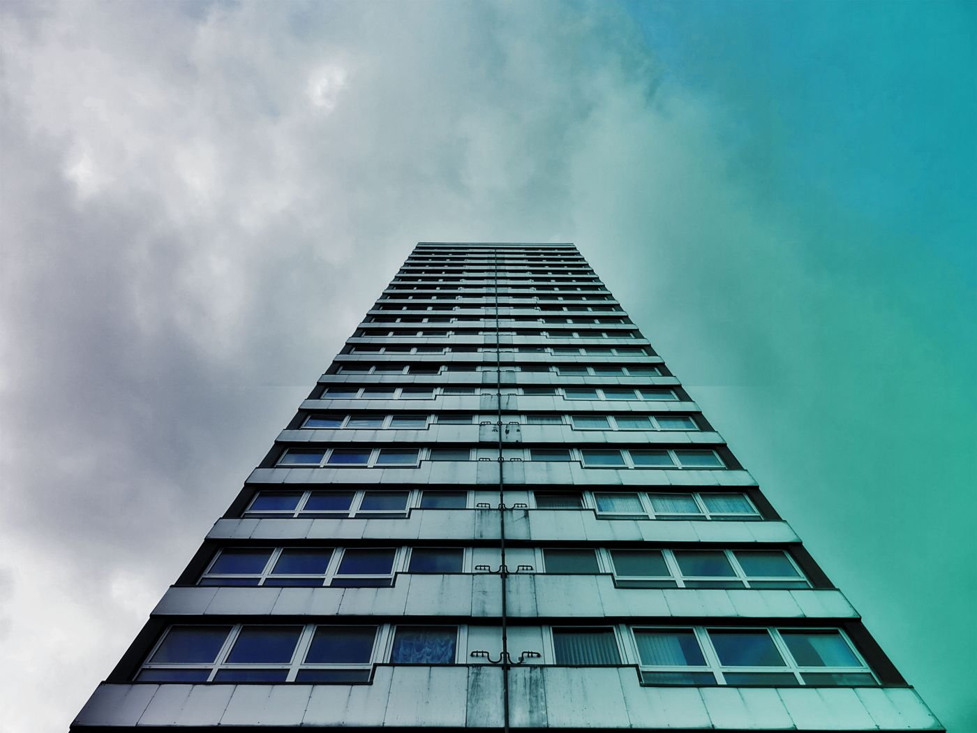
Multi-family apartment block
Project-specific BIM modeling and coordination support for a multi-family residential development.
View case studyPlans, sections and elevations of a listed hotel drawn from laser scans, capturing uneven walls, ornate facades and decades of alterations.
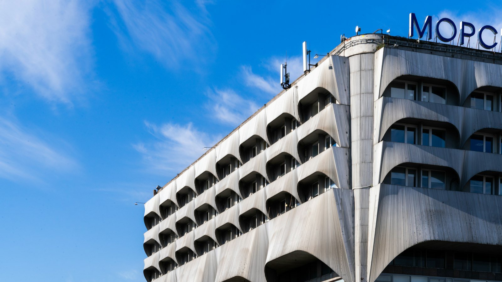
A surveying practice had scanned a listed hotel ahead of a major refurbishment. The conservation officer required accurate measured drawings before any design work could be approved.
Walls were out of plumb, floors stepped between wings and the street facade carried detailed stonework.
What we delivered
Few walls were straight, square or plumb.
Cornices and window surrounds needed careful tracing.
Drawings had to satisfy the conservation officer.
Have a building to capture? Send your point cloud and scope. We reply with an approach and quote within one working day.
How the programme ran, from receiving the scan to issuing the final files.
Registration, coverage and file formats checked on receipt.
LOD, levels, grids and tolerance agreed; client template loaded.
Elements drawn floor by floor against the point cloud.
Finished areas shared with the client for comment.
Independent review against the point cloud before issue.
Files issued in the client’s formats with a short assumptions note.
A tolerance was agreed at the start; inside it walls were drawn straight, outside it they followed the scan, with every deviation noted.
Clear rules for when to straighten and when to follow the scan.
Mouldings and stonework profiles taken from the point cloud.
Layers, line weights and title blocks to the practice’s template.
Alterations and assumptions recorded on the drawings.
Selected Cadbricks projects across different services, project types and markets — see how our team supports real-world AEC requirements.
Project-specific BIM modeling and coordination support for a multi-family residential development.
View case study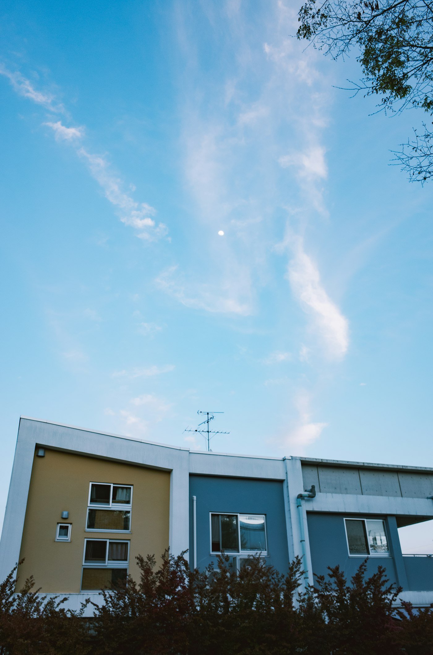
Point cloud survey converted into an as-built BIM model and measured drawing set for refurbishment planning.
View case study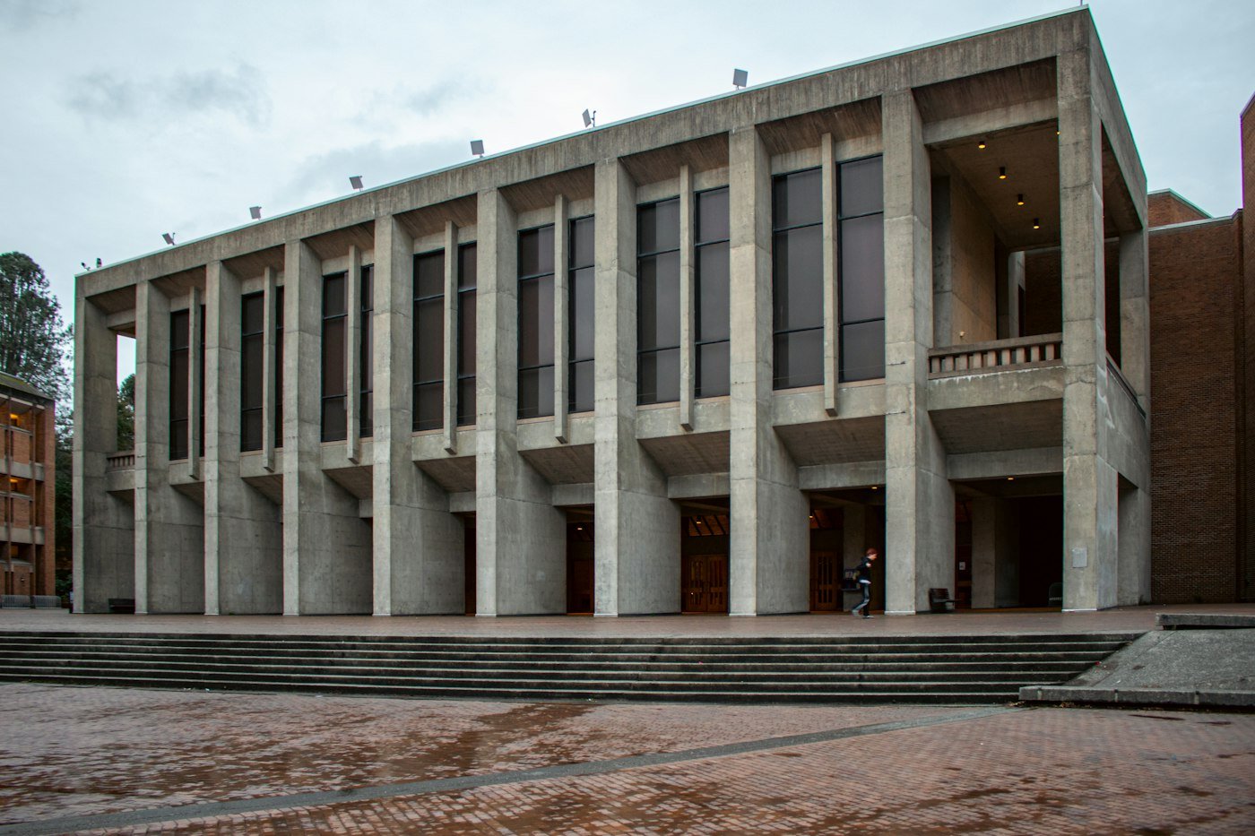
Coordinated construction documentation set developed from design intent through to issue for construction.
View case study
Detailed architectural model and sheet set produced for a gallery extension alongside an existing building.
View case study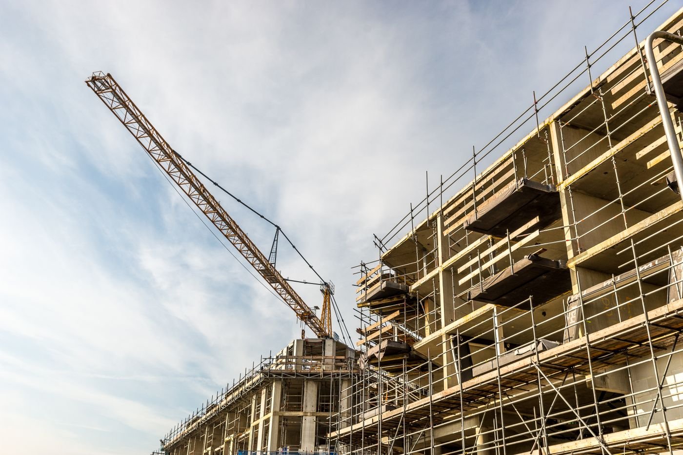
Permit and construction drawings for a new fire station, coordinated with structural and MEP consultants.
View case study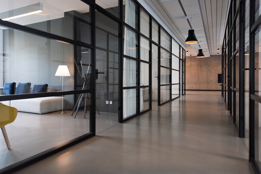
Photorealistic interior renderings used to secure client approval ahead of an office fit-out.
View case study