
Topographic survey drawings from your site data
Topographic site drawings with levels, contours, boundaries, buildings, trees, utilities and features, drafted from your total station, GPS, drone or laser scan data to your survey standards.
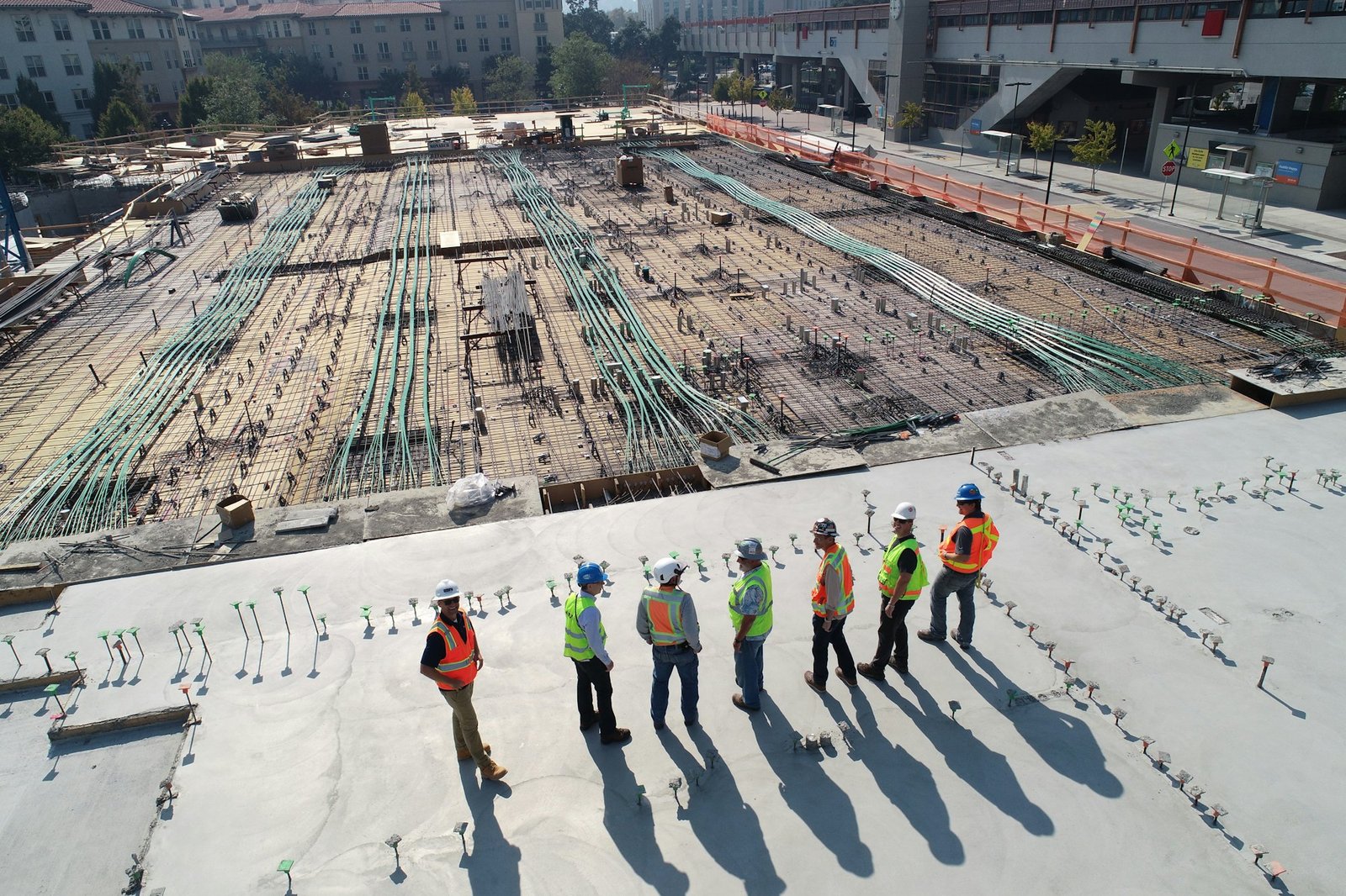 Levels & contours
What to send us
- Survey point files
- Point clouds or drone data
- Field sketches and codes
- Symbol library and layers
Site information designers can build on
Before anything new is designed, someone needs an accurate picture of the ground. A topographic drawing puts levels, contours, boundaries, existing structures, trees and visible utilities into one plan the whole design team can trust.
We draft from your crews' field data. Codes are mapped to your symbol library, points are checked for outliers, a surface is built and contours are generated at the interval you specify. The drawing is finished on your layers and title block, ready for your surveyor to check and issue.
Land surveyors, civil engineers and architects use us to keep topo drawings moving during busy periods, without changing their house style.
We work from
- Survey point files
- Point clouds or drone data
- Field sketches and codes
- Symbol library and layers
- Title blocks and grid
- Deadline
Spot levels
Ground, kerb, floor and feature levels labelled clearly.
Contours
Contours generated from a checked surface model.
Boundaries and features
Fences, walls, kerbs, paths and hard landscaping.
Buildings
Building outlines with floor and ridge levels.
Trees and soft landscape
Trees with spreads, species and heights.
Utilities
Manholes, covers and visible utilities with levels.
Sections and profiles
Site sections and long profiles where required.
Survey QA
Points, codes and levels checked before issue.
Survey data we work with
How each kind of field data is used in a topographic drawing.
| Data | What it gives | Typical use |
|---|---|---|
| Total station points | Precise levels and features | Detailed site surveys |
| GPS / GNSS | Fast coverage of open sites | Large and rural sites |
| Drone photogrammetry | Dense surfaces and orthophotos | Earthworks and large areas |
| Laser scans | Dense, accurate site detail | Urban sites and building edges |
| Field codes and sketches | Feature types and notes | Correct symbols and layers |
From field data to drawing in six steps
A reliable routine that turns raw survey data into a finished topographic plan.
-
Step 1
Share field data
Points, codes, clouds and sketches.
-
Step 2
Scope & quote
Area, detail and deadline agreed.
-
Step 3
Data check
Codes, control and outliers reviewed.
-
Step 4
Surface & drafting
Surface, contours and features.
-
Step 5
QA review
Levels and features checked.
-
Step 6
Delivery
Drawings issued.
From site to drawing set
Click any image to view it full size.
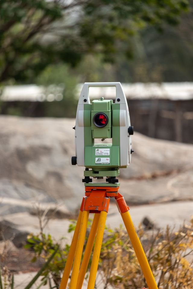


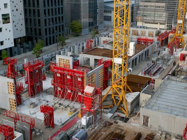
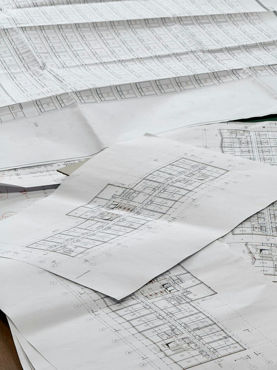

A drawing office for land surveyors
Field codes, levels and contours are checked before issue, so your surveyors review the drawing rather than correct it. Every project starts with a written quotation, a named point of contact and a firm delivery date, and you can begin with a small trial task.
- 0+Projects delivered
- 0%Client retention
- 0+In-house experts
Your standards first
We work inside your templates, title blocks, families and naming, so files drop straight into your workflow.
Qualified AEC team
Architects and engineers who know how drawings and models are used on real projects.
QA on every delivery
A separate reviewer checks accuracy, completeness and sheets against the brief before files leave us.
Work in your time zone
Shifts overlap US and UK working hours for calls, reviews and quick turnarounds.
Confidential by default
NDAs on request, controlled access and secure file transfer for every project.
Scales with your workload
Add capacity for a deadline and scale back when it passes, without hiring.
Work with us your way
Three simple ways to engage, each with a written quotation before any work begins.
-
Dedicated team
Full-time modelers who work only on your projects.
Best for Steady, ongoing pipelines
- Named team lead and modelers
- Works in your tools and templates
- Scale the team up or down monthly
-
Most flexible
Hourly
Pay only for the hours your project needs, from US$18 per hour.
Best for Changing or open-ended scope
- No minimum commitment
- Hours reported transparently
- Start with a small trial task
-
Fixed price
An agreed scope, fixed price and delivery date before work begins.
Best for Well-defined deliverables
- Clear scope and milestones
- Price agreed upfront
- Ideal for one-off models
Have field data to process? Send a sample job. We'll reply with a quote within one working day.
Sites for every building type
Topographic drawings for commercial, residential, education, healthcare and hospitality developments.





Topography survey drawings questions
Quick answers about data, software, standards and turnaround for topographic survey drawings.

Total station and GPS points, field codes, laser scans, drone point clouds and orthophotos.
Civil and survey CAD platforms, with editable CAD files and print-ready sheets.
Yes. We map your field codes to your symbol library and layer structure.
Yes, from a checked surface model at the interval you need.
No. We draft from data your team or subcontractor captures.
Yes, into one coordinated survey package.
A site of a few hectares is often drafted within two to four working days.
Files are shared only with the people working on your project, through secure transfer or your own platform. We sign NDAs on request and never reuse your drawings, models or data on other work.
Use whatever suits you: email, a file-sharing link or your own common data environment. Within a working day of receiving the package, we send a short list of questions so nothing is left to guesswork.